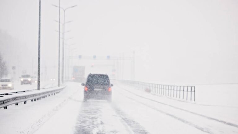
Up to 5 inches of snow and 45 mph gusts are now in the forecast for one state heading into next week.
The snow starts Sunday and lingers into Tuesday, with the strongest gusts arriving over the same days. It is the second round of winter weather there in less than a week.
Snow Totals
The NWS Fairbanks area forecast discussion, issued at 8:45 a.m. ET Saturday, puts the heaviest totals in Alaska’s Eastern Brooks Range, 2 to 5 inches over 72 hours from Sunday afternoon through Tuesday afternoon. The eastern North Slope could pick up 1 to 2 inches over the same stretch.
Amounts stay lighter closer to the road network. Snow returns to the eastern Interior Sunday morning and lasts into Monday morning with an inch or less. The NWS Fairbanks zone forecast puts around an inch on the Eastern Alaska Range south of Trims Camp Saturday night. That covers part of the Richardson Highway, the same road where the storm earlier this week hit.
Wind Through The Passes
Winds pick up Saturday evening, with gusts up to 35 mph through Sunday evening in Windy Pass, on the Parks Highway, and through Monday afternoon in Isabel Pass. Wind at that speed is enough to push a pickup towing a camper or a loaded trailer around in its lane on an exposed stretch, and it can lift loose snow into the road well before much has accumulated.
At the other end of the Brooks Range, east and northeast gusts up to 45 mph are forecast for the western mountains and the Northwest Arctic coast from Sunday night through Tuesday, and the zone forecast already includes areas of blowing snow along the Bering Strait coast Saturday night into Sunday.
Out on the Aleutian Chain, the NWS Anchorage area forecast discussion expects gusts up to 60 mph at Adak by Saturday evening and up to 50 mph at Nikolski and Unalaska on Sunday, where a Wind Advisory runs from 8 a.m. ET Sunday to 2 a.m. ET Monday. Closer to Anchorage, the same discussion flags gap winds through Turnagain Arm on Saturday, the stretch of water the Seward Highway follows south of the city.
Coldest Mornings Of The Season
NWS Fairbanks says Saturday and Sunday mornings could bring the coldest lows so far this season across the Interior, in the teens in places. The south slopes of the Eastern Brooks Range are forecast to drop to around 4 above Saturday night, the Dalton Highway summits to the mid teens, and Fairbanks to the upper 20s. Those temperatures matter for anything running on diesel, since untreated No. 2 diesel can start to cloud and thicken in the teens, and the trucks that work the Dalton usually switch to a winter blend or an additive before nights like these.
Snow Already On The Ground In Colorado
Colorado already had its first real snow of the season earlier in the week. On Pikes Peak, the National Weather Service measured up to 13 inches of new snow by 8 a.m. ET Thursday, bringing the five-day total to 18 inches, CBS Colorado reported.
The snow also left a hiker stuck at the top. El Paso County Search and Rescue reached the hiker stranded by the snowstorms on Pikes Peak on October 1, working with Pikes Peak-America’s Mountain to get crews up to the summit through winter conditions. Afterward, officials told hikers to “check the weather before heading out, pack appropriate gear and turn around if conditions become unfavorable.”