If you were tracking the Pacific storm that buried Donner Pass overnight, it’s not done. The same upper-low is now progressing into Montana, and the National Weather Service has upgraded its earlier Winter Storm Watches to full Winter Storm Warnings across the mountains of southwest and south-central Montana. Two NWS offices are coordinating on this one: Great Falls and Billings. The window runs from Wednesday evening through Friday morning, and this is not a light spring dusting.
Same Storm, Different Exit
The Weather Prediction Center has been tracking this system as a single mid-level closed low since it slid off the California coast Monday. On Tuesday, it parked over the Sierra Nevada and dropped snow rates of one to two inches per hour on Donner Pass and Echo Summit. It is now progressing inland, and will reach the northern Rockies later in the day, which is where Montana comes in.
WPC’s own Probabilistic Heavy Snow Discussion spells it out: as the California system moves inland, snow spreads initially across Nevada and eastern Oregon tonight, then reaches central to northern Idaho, western Montana and western Wyoming beginning late Wednesday and continuing through Thursday. Snow levels that start near 9,000 feet at onset fall steadily to 4,000 to 5,000 feet by Thursday morning.
Two Warning Zones, Two Different Timelines
NWS Great Falls issued a Winter Storm Warning late Tuesday night for the Gallatin, Madison and Centennial Mountains. Five to twelve inches of heavy wet snow with higher amounts over the peaks, wind gusts up to 40 mph, in effect from 6 PM Wednesday to 6 PM MDT Thursday. Named locations include Big Sky, West Yellowstone, Raynolds Pass and Targhee Pass.
NWS Billings issued its own Warning for the Absaroka and Beartooth Mountains, including Cooke City. This one runs longer — 6 PM Wednesday through 6 AM MDT Friday. Eight to fifteen inches of snow with gusts up to 60 mph, strongest east of the Stillwater River Valley.
Both warnings specifically call out heavy wet snow, which means power outages and tree damage are on the table, not just slick roads.
The Roads That Matter
This hits the main routes into Montana’s ski and gateway towns. US-191 through Gallatin Canyon is your primary route from I-90 south through Big Sky to West Yellowstone, and it climbs right into the warning zone. US-20 over Targhee Pass is the western approach from Idaho. For Cooke City, the Beartooth Highway stays closed until late May — you’re going through Yellowstone’s North Entrance and across the park. Expect conditions to deteriorate Wednesday evening, with the worst overnight into Thursday.
Montana’s mountain passes have been active this spring. Easter weekend saw similar warnings across Wyoming and Montana as late-season Pacific systems continue to track through the northern Rockies.
If You Still Have to Drive
Montana DOT will call for chains when they need them. AWD doesn’t get you out of that requirement. Standard mountain kit applies: chains, emergency supplies, full tank. If you get stuck, stay put and keep the exhaust clear.
If you’re shopping for something more capable for regular mountain drives, the 2026 Subaru Outback Wilderness brings 9.5 inches of ground clearance, X-Mode terrain software, and all-terrain tires standard. It’s the kind of setup that makes sense when Gallatin Canyon is part of your regular commute, not just a vacation route.
Subaru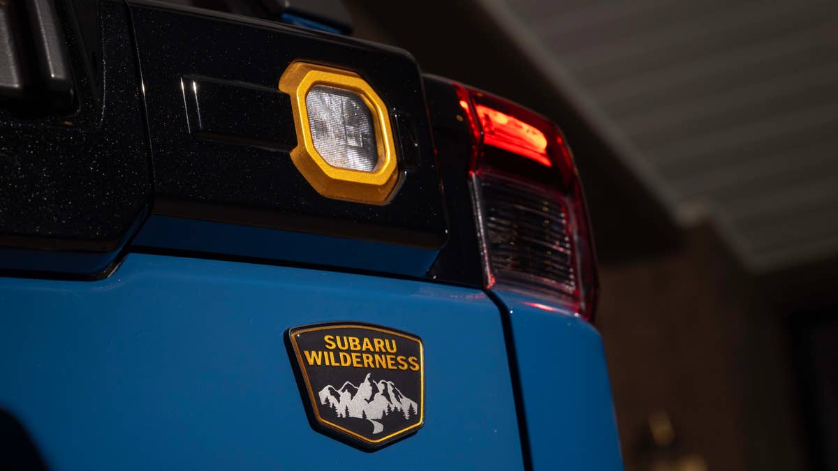
Check 511mt.net before you leave. Yellowstone road status is at nps.gov/yell.
The valley floors around Bozeman and Livingston get rain and wind. The warnings are for the mountains above. But if you’re driving up into those mountains, you’re driving into the warning. Make sure to plan around it, not through it.