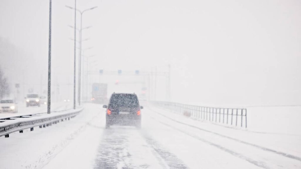
Snow is moving onto a high stretch of I-80 tonight, and forecasters are calling it the season’s first winter storm for the ranges the interstate crosses. The National Weather Service has winter weather advisories in effect into Thursday, with up to 12 inches of snow forecast in the higher terrain and gusts as high as 45 mph.
On the interstate itself, the forecast calls for smaller totals than in the ranges around it, but this part of I-80 has closed before when snow arrived with strong wind.
The Advisories
NWS Cheyenne updated its winter weather advisories at 4:06 a.m. ET Wednesday under a heading that describes the system as the “season’s first winter storm to impact the Sierra Madre, Snowy, and Southern Laramie Ranges.” The office expanded the alert area overnight to take in the interstate. South of the state line, the same storm has put advisories on Colorado’s high passes, including Vail Pass on I-70.
The South Laramie Range, including the I-80 summit between Cheyenne and Laramie, and the North Snowy Range Foothills around Arlington and Elk Mountain are forecast to receive 3 to 6 inches, mainly above 7,000 feet, with gusts up to 35 mph. The Sierra Madre Range is expected to see 5 to 9 inches. Both advisories run from 8 p.m. ET Wednesday to 2 p.m. ET Thursday.
The heaviest totals sit in the Snowy Range, where 6 to 12 inches are forecast and gusts could reach 45 mph. That advisory is already in effect and also expires at 2 p.m. ET Thursday. NWS Cheyenne says travel “could be very difficult along Highway 130,” the road that climbs through the range, and warns that hunters and hikers “may become disoriented and lost due to low visibility in snow.”
I-80
The forecast discussion attached to the advisories expects snow levels to reach the I-80 summit in the Southern Laramie Range early Wednesday, ahead of the advisory window, and notes that “locally heavier snow totals are possible in the advisory zones.” On the interstate segments, the office says “travel could be difficult.”
Elk Mountain, inside the advisory area, saw exactly that in April, when a spring storm with strong winds produced blizzard-like conditions there, several semitrucks jackknifed, and the Wyoming Department of Transportation closed I-80. “I couldn’t see 10 feet in front of me,” truck driver Ashton Welsh told Cowboy State Daily at the time.
The I-80 advisories begin at 8 p.m. ET Wednesday, which is early evening locally, and run through Thursday morning. The Cowboy State Daily forecast for Wednesday night calls for rain and snow that is “near certain” in both Cheyenne and Laramie, with gusts up to 30 mph in Cheyenne.
Crosswinds And High-Profile Vehicles
Box trucks, empty trailers, camper vans and SUVs with roof boxes catch a lot of wind, and on wet or snowy pavement a 35 to 45 mph gust can push them sideways.
Slowing down on open stretches leaves more room to correct. A light trailer moves in a crosswind far more easily than the vehicle towing it, so drivers pulling a camper or utility trailer have the least margin. During the April storm, WYDOT closed nearby Highway 34 to high-profile vehicles under 40,000 pounds, and similar restrictions are possible if the wind picks up this time.
Road Conditions
WYDOT posts closures, restrictions for high-profile vehicles and current conditions on WYOroad.info, and NWS Cheyenne advises drivers to call 511 for the latest road reports.