A powerful late-season winter storm is bearing down on the Sierra Nevada this weekend, prompting the National Weather Service to issue Winter Storm Warnings spanning every major mountain corridor from Lassen County to Sequoia National Park. Multiple NWS offices, including NWS Sacramento, NWS Reno, and NWS Hanford, are coordinating warnings as back-to-back upper-level lows push ashore from the Pacific, delivering moisture surges with precipitable water anomalies running 150 to 200 percent of normal according to the Weather Prediction Center. The system arrives Friday evening, and conditions will deteriorate rapidly through Saturday morning.
Feet of Snow From Donner Pass to Yosemite
The heaviest accumulations are forecast for the Northern Sierra, where NWS Sacramento is calling for 1 to 2 feet of snow above 4,500 feet and up to 3 to 4 feet at the highest peaks, including ski resort elevations near Donner Summit and Blue Canyon. Snow levels will start above pass level Friday afternoon before dropping to 6,000 to 7,000 feet late Friday, then plunging to 4,000 to 4,500 feet by late Saturday into Sunday, bringing 2 to 4 inches of accumulation to elevations as low as 4,000 feet. The Lake Tahoe Basin is expecting 6 to 10 inches at lake level and 12 to 28 inches above 7,000 feet and at Sierra passes. Further south, NWS Hanford warns the Yosemite region could see 1 to 4 feet above 7,000 feet, with visibility dropping below a quarter mile and conditions described as potentially life-threatening.
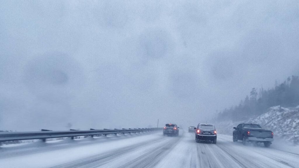
90 MPH Ridgetop Gusts and Whiteout Conditions
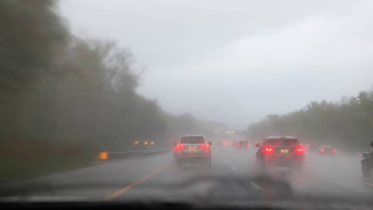
Wind is the force multiplier in this storm. NWS Reno forecasts Sierra crest gusts reaching 90 MPH Saturday afternoon, with sustained gusts of 70 to 80 MPH along the crest in Mono County and 40 to 45 MPH at lower elevations and along US-395. These winds will combine with heavy snowfall to produce extended whiteout conditions across exposed passes, making I-80 over Donner Pass, US-50 over Echo Summit, CA-88 at Carson Pass, and CA-120 near Yosemite extremely dangerous. Chain controls are virtually certain once snow levels drop below 6,000 feet Saturday evening, and Caltrans may implement full closures over Donner Summit and other passes if snowfall rates and visibility deteriorate beyond manageable thresholds. Drivers can check conditions at QuickMap or by calling 511.
Getty Images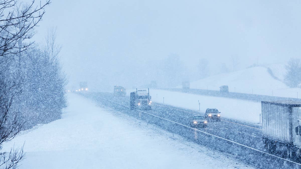
Record-Low Snowpack Adds to the Risk
This storm lands on a Sierra Nevada that has almost no snowpack left. California’s April 1 measurement came in at just 18 percent of average, the second-lowest on record, with the Northern Sierra at a staggering 6 percent of normal after March finished as the state’s warmest and driest month on record. The result is warm, bare pavement that will create a rapid melt-and-refreeze cycle as heavy, wet spring snow falls on surfaces that have been baking under above-normal temperatures for weeks. That cycle makes road surfaces especially unpredictable, particularly overnight and in early morning hours when treated roads refreeze.
Staying Safe Behind the Wheel
Late-season Sierra storms are deceptive because many drivers have already stowed their winter gear. If you must cross the mountains this weekend, carry chains even if you drive an AWD vehicle; Caltrans R-3 chain controls require chains on all vehicles, no exceptions. Wet spring snow is heavier than midwinter powder and packs onto windshields and roofs quickly, so clear your entire vehicle before driving. Disable cruise control on any snow-covered surface and reduce speed before entering curves or highway ramps, not during. Keep an emergency kit in your trunk with a phone charger, blanket, water, and a small shovel. For a full breakdown on handling snow and ice at speed, review Autoblog’s guide to best practices for winter driving. The safest move is to avoid any Sierra crossing between Saturday morning and Sunday afternoon entirely, then check Caltrans conditions before committing to a drive once crews have had time to clear and treat the passes.
When It Ends
Snow begins Friday evening and ramps up sharply by Saturday morning. The worst travel window runs from Saturday predawn through Sunday afternoon, with the most intense accumulations falling late Saturday morning into midday Sunday. Conditions should begin improving Sunday evening as the system exits east, but overnight refreezing will keep mountain roads hazardous into Monday morning. If your schedule allows, Monday midday offers the safest window for a Sierra crossing.