A Two-Day Severe Weather Window Is Opening Across Michigan
The Storm Prediction Center has issued severe weather outlooks covering Michigan for both Monday, March 30 and Tuesday, March 31, with the threat expanding and intensifying as the week progresses. Scattered strong and severe thunderstorms are expected through Tuesday across parts of the Great Lakes and Midwest, with damaging gusts and hail identified as the most likely hazards. NOAA
Monday brings isolated to scattered coverage, meaning not every part of the state sees severe weather, but those that do could encounter damaging winds and large hail. The SPC has placed Wisconsin, Iowa, Illinois, and Michigan under a Slight Risk for Monday, with the afternoon hours carrying the highest potential as daytime heating destabilizes the atmosphere. Cabarrus Weekly
Tuesday Is the Day Forecasters Are Watching
A potent cold front is expected to crash into near-70-degree air late Tuesday, producing showers and thunderstorms with some storms turning strong or severe in the afternoon and evening, with southwest winds running 15 to 25 mph ahead of the front. WWMT
The risk area expands significantly eastward Tuesday into Indiana and Ohio as the system pushes through. An isolated tornado cannot be ruled out, particularly Tuesday afternoon and evening, though damaging winds and large hail remain the headline threats. Cabarrus Weekly The Weather Prediction Center flagged severe weather and flash flooding chances along a stationary boundary across the Great Lakes corridor as the primary hazard for early next week.
What This Means for Michigan Highways
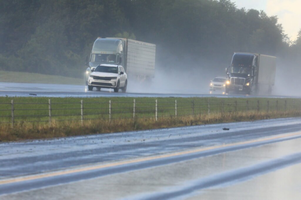
I-94, I-96, and I-75 across southern Lower Michigan carry the highest exposure during Tuesday’s peak window. Afternoon and early evening commuters face the greatest risk. Large hail, defined here as hail reaching one inch or more in diameter, is capable of cracking windshields and damaging vehicle exteriors with little warning.
What Drivers Should Know
If severe thunderstorms fire Tuesday afternoon, pull off the highway and get under a sturdy overpass or into a structure. Do not shelter directly under a bridge deck, as wind tunnel effects can intensify beneath them. Reduce speed immediately when rain intensity drops visibility. Avoid cruise control in any active storm cell.
For Michigan drivers moving through the I-94 corridor this week, hail damage is the most underestimated vehicle threat. A single severe cell can produce baseball-sized hail in seconds, and a comprehensive vehicle emergency kit should include basic documentation and insurance contacts for exactly this scenario.